

Tips for Hiking with Kids
The Benton Mackaye Trail is a great way to explore hiking with the family. Here is a great guide to make it a fun, successful trip!
The Toccoa River Swinging Bridge is a 270-foot bridge in Fannin County, Georgia—the longest swinging bridge east of the Mississippi River.
Located where the Benton MacKaye Trail crosses the Toccoa River, this pedestrian bridge is a popular destination for day-hikers, Benton MacKaye Trail thru-hikers, paddlers making the journey down the Toccoa River Canoe Trail, and families seeking a unique outdoor experience in the North Georgia mountains near Blue Ridge.

Built in 1977 by the USDA Forest Service in cooperation with the Appalachian Trail Club, the Toccoa River Swinging Bridge was originally constructed when the extension of the Blue Ridge Parkway to Kennesaw Mountain was under consideration. Today, it serves as a scenic crossing for the Benton MacKaye Trail and Duncan Ridge National Recreation Trail.
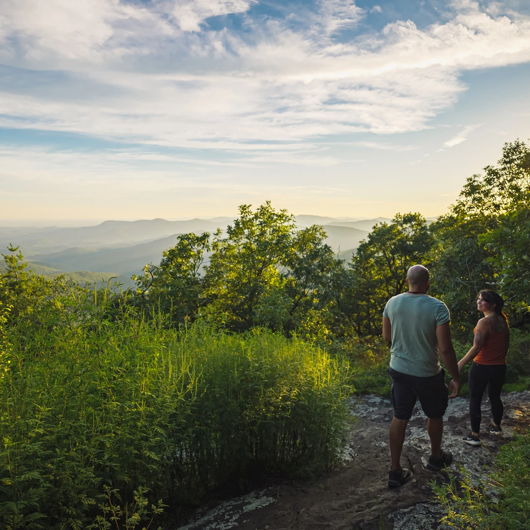
On both the north and south approaches to the bridge, you'll see the white diamond blazes of the Benton MacKaye Trail and the blue vertical rectangular blazes of the Duncan Ridge Trail. The trails on each side of the river provide short, pleasant walks through a beautiful wooded setting.
The Swinging Bridge is a popular spot for:
Other nearby attractions include the scenic drive through the beautiful Wilscot Valley, the historic working Skeenah Mill and falls, the wooded setting to reach the parking area, and the Toccoa River itself.


From the intersection of Hwy 515 and Hwy 5 (McDonalds) in Blue Ridge:
Parking lot coordinates - N 34°44.350' W084°10.213'
Current Road Closure: FS Road 816 to the main parking lot is currently closed.
Alternative Access: Those seeking a longer hike can reach the Swinging Bridge by following the Benton MacKaye Trail (BMT) and the Duncan Ridge Trail on either side of the Toccoa River.
The bridge is 270 feet long, making it the longest swinging bridge east of the Mississippi River.
Yes, the bridge itself is open year-round. However, access roads may be affected by weather conditions. Check current conditions before visiting.
There is no entrance fee to access the Toccoa River Swinging Bridge or to use the trails.
The hike from the parking lot is short and easy, suitable for most fitness levels. However, the trail is not paved and includes some uneven terrain.
Yes, dogs are allowed on the trail and bridge but must be kept on a leash. Please clean up after your pet.
Yes, as a suspension bridge, it will sway slightly when people walk across it. This is normal and part of the experience! The bridge is safe and well-maintained.
The Benton Mackaye Trail is a great way to explore hiking with the family. Here is a great guide to make it a fun, successful trip!
Be prepared for wilderness. Some roads are rough. Please pack in all you will need and pack out all your trash. The rule of the forest is “Leave No Trace.” If you build a fire, never leave it unattended. Use good judgment when hiking, particularly around waterfalls where rocks are often wet, moss covered and slippery. If hiking during hunting season, wear a brightly colored vest. The most effective way to prevent mishaps is to adequately prepare for the trip. Knowledge of the area, weather, terrain, limitations of your body, plus common sense can help to ensure a safe and enjoyable trip.

Appalachian Trail
The start of the Appalachian Trail begins at the top of Springer Mountain in southern Fannin County where it begins…
Big on Beauty, Low on Mileage: Fantastic Hikes under 2 Miles
Some of our favorite spots are tucked deep within remote wilderness areas.

Aska Adventure Area
The Aska Adventure Area—a local favorite—is a hiking-mountain bicycling trail system 17.0 miles in length developed on National Forest lands…

Benton MacKaye Trail
Blue Ridge is a Benton MacKaye Trail Town.
Chattahoochee National Forest
Fannin County has 106,000 acres of forest, 66,097 in the Blue Ridge Ranger District and 40,006 acres in the Cohutta Wilderness.

Cohutta Wilderness
With more than 40,000 acres in Georgia and Tennessee (where its known as Big Frog Wilderness Area), the Cohuttas comprise…

Waterfall Hikes
Enjoy our local waterfalls and others nearby.
This website uses cookies to optimize your visitor experience. Learn More