
Geocaching in the Blue Ridge Mountains
Use your GPS to search for hidden treasure.
Want to go on a unique adventure in Georgia’s Blue Ridge? Geocaching is a fun and exciting way to discover some of the most amazing places in our area. Geocaching is a kind of high tech outdoor treasure hunt, where you use a GPS unit to track down a cache that has been hidden. Once you find it, you can participate in the fun and goodies that are hidden within. Take something, leave something, sign the logbook are the basic rules of the game.
The way to enjoy geocaching in our area is to log on to geocaching.com and check out all the great caches people have hidden in our incredibly scenic and interesting area. Put Blue Ridge’s zipcode 30513 into the Search box and you will see more than 250 geocaches in the area around Georgia’s Blue Ridge. Please be patient, sometimes geocaches are removed, please log in and make notes for the next person.
Find even more geocaches on the web by logging on to Geocaching Websites Listing.
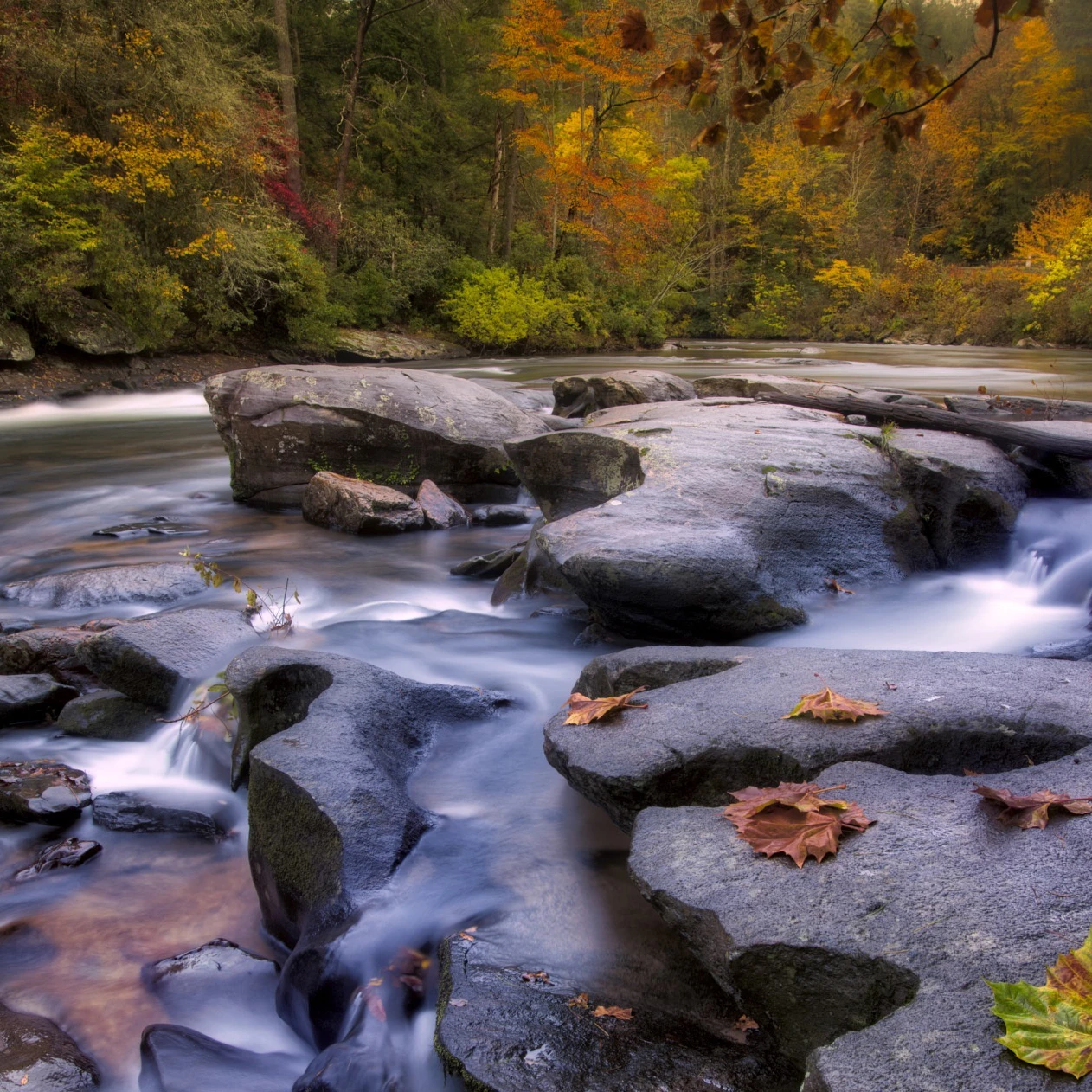
Top GPS Fixes for Area Attractions
Blue Line
N 34°59.300' W084°22.201'
Horseshoe Bend Park
N 34°58.368' W084°21.566'
Tammen Park
N 34°53.254' W084°17.180'
Ocoee Whitewater Center
N 35°03.961' W084°27.678'
Morganton Point
N 34°52.139' W084°15.258'
Swinging Bridge Parking Lot
N 34°44.350' W084°10.213'
Fish Hatchery
N 34°42.382' W084°08.969'
Three Forks Parking Lot
N 34°39.815' W084°11.053'
Parking lot Springer Mtn.
N 34°38.262' W084°11.712'
Amicalola Falls
N 34°33.263' W084°15.027'
Jacks River Fields
N 34°51.813' W084°31.208'
Aska Rd
N 34°52.322' W084°18.465'
Aska Trails
N 34°48.995' W084°17.989'
Blue Ridge Recreation Area
N 34°50.678' W084°18.071'
Toccoa River Rapids
N 34°47.451' W084°16.564'
Shallowford Bridge
N 34°47.029' W084°15.562'
Fall Branch Falls Parking Lot
N 34°47.017' W084°18.166'
Sandy Bottoms Canoe Launch
N 34°47.170' W084°14.398'
Blue Ridge Dam
N 34°52.806' W084°16.903'
Blue Ridge Marina
N 34°52.230' W084°16.758'
Mercier Orchards
N 34°53.190' W084°20.448'
Blue Bird
N 034° 53.659’ W084° 15.426’
Related Stories

7 Blue Ridge Water Adventures To Try This Summer
With the most beautiful rivers and lakes in the south, Blue Ridge is filled with Summer fun. Here's where to find some of the best:

Instagram Worthy Spots in Blue Ridge
Fill your soul and your Instagram feed with these 5 amazing Insta worthy spots in and around beautiful Blue Ridge, GA!
Take a scenic drive through gorgeous North Georgia Mountain scenery
These scenic drives in Georgia's Blue Ridge combine some of the prettiest views of the countryside with curvy mountain roads and lots of roadside attractions. Just click to download free driving maps.